Hallasan Info Center
Jeju Day 3
The day we have been waiting for! We have been checking the weather the entire week to decide what was the best day to spend hiking Hallasan. Hallasan is the highest peak in Korea at almost 2000m (that's 6500ft). It is located smack dab in the middle of Jeju island and is a volcanic mountain. There are multiple trails around the mountain but only two trails go all the way up to the peak, Seongpanak and Gwaneumsa. Seongpanak is the easier of the two but it is longer. We decided to hike up this one with the plan of going down the harder, shorter trail and taking a cab back to where we left our car. We started early, leaving our hotel at 7am and making the hour journey to the start of the trail. We arrived at around 8am. There is a convenience store and restaurant around the parking lot area so we grabbed snacks, water, and kimbap.
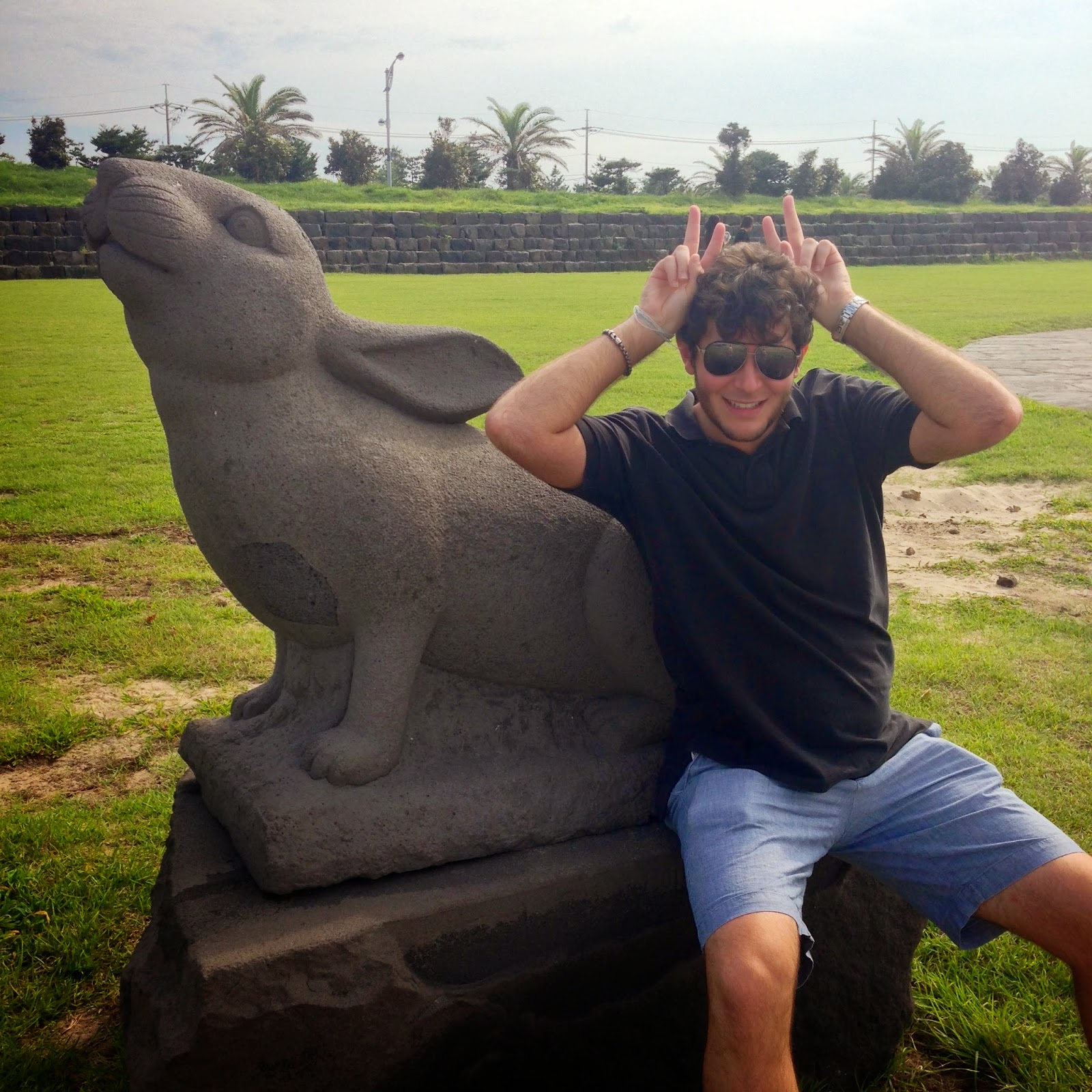
Don't we look so happy!? Wait till you see the after picture hahahha! Ok so here is the break down of the hike.
The first 4.5km is rated C (easy) this leads to a resting area and bathroom -> B trail starts (medium), after 3km you get to the shelter/food stop -> Finally, the A trail starts (hard) and with another 2km finished you reach the peak.
Not gonna lie, Alan and I both fall in the "normal" BMI range, but are not in the best shape and we exercise only every once in a while, so you can use that as a measure of your own fitness. For us, the first section of the trail went well, it was tiring of course, but nothing strenuous and we felt fine when we reached the first rest area. We had made great time doing 4.5km in less than 2 hours.


After the rest area, the trail becomes a lot more rocky, with little pebbles and larger stones. I felt like I was playing stepping stones all the way up. This wouldn't be too hard if you had your time, but we constantly had a trail of people either following us or in front of us so you had to go at a quicker pace. Some of these hikers were just gliding up and down the mountain! I don't know how they do it, maybe its better footwear, the walking sticks they were using or just from previous experience. Before reaching the shelter, there is a fork in the trail that leads up to another observatory, Saraoreum. We did no take it since it would have added another 2 km roundtrip to our hike. After what felt like forever, we reached the shelter! Here we took a break and had some food. They sell ramen, snacks, and drinks at the shelter. I opted for the kimbap I had purchased at the base and Alan had ramen and choco pies.

We reached the shelter by 11:30, giving us some time before the ascent closed. It depends on the season, but for us we had to start the ascent to the peak by 12:30pm. Once you get to the peak, you must descend by 2:00pm. Don't worry, multiple announcements will be given at the shelter and peak when it's time to move (but they are all in Korean)! After eating and stretching we were off on the last leg of the hike before the peak. The start of the hard trails is pretty deceiving since you start with some sets of stairs. Not before long you will be back to stepping stones of the larger variety.


As the trails started to get steeper, I was having second thoughts about going down the harder trail. Clouds were also moving very fast above us so we didn't know if it would be clear at the top. We saw the light at the end of the tunnel of forest when we climbed the last set of stairs and the sun finally broke through the greenery. By this time we felt very excited since we thought we were very close! Close as in a few more sets of stairs, bouldering and more stairs lol.

Once we finally made it to the top, it was AWESOME. Pictures will not do it justice and you are literally in the clouds. We reached the summit by 1pm, meaning we had an hour to relax and replenish before the decent down. We took a lot of pictures and sat down for our mini picnic and gave our legs a rest.


And now for the worst part of the hike, the decent. No joke, we were tired, our legs were starting to feel the strain and our water supply was running low. Going up the mountain requires more energy from your body, but going down requires more effort from your mind (balance, perseverance, cautiousness) as every step is a potential twisted ankle or fall. Weighing the pros and cons we decided to head back down the way we came since we already knew the trail and there were places to restock on water for sure. This was my least favorite part of the whole hike. The hard part was excruciating, the medium part was were I began to feel my knee giving way, and the last 4km felt like it was never going to end. My adrenaline kicked in the last 30 minutes trying my best to get to the end of trail. Finally we made it to the base at around 6:30pm. Boy were we exhausted! All in all Hallasan is definitely worth the exhaustion, but make sure you check the weather and check your fitness level!

Tips and Recommendations:
* Make sure you are both physically and mentally up for the challenge - there were times when I felt like I couldn't walk any more and wanted to break down.
* If you are inexperienced, do not go hiking alone. Your companion can help you in more than one way, whether it be going up or down a steep incline or to give you encouraging words.
* Check the season peak times and be sure to plan your hike accordingly, start your hike early making sure you have enough time to rest and relax at the summit before descending. I would recommend starting no later than 8:30am.
* Check the weather! You do not want to be stuck in a rainstorm or go on a cloudy day where the clouds will block your view.
* Wear sunscreen and hiking shoes (no sandals!)
* Water and snacks!
* Bring bug repellent and reapply accordingly.
*If you are physically fit, try going up Gwaneomsa, the views are suppose to be better than Seongpanak. Descend via Seongpanak so you can experience both trails!


